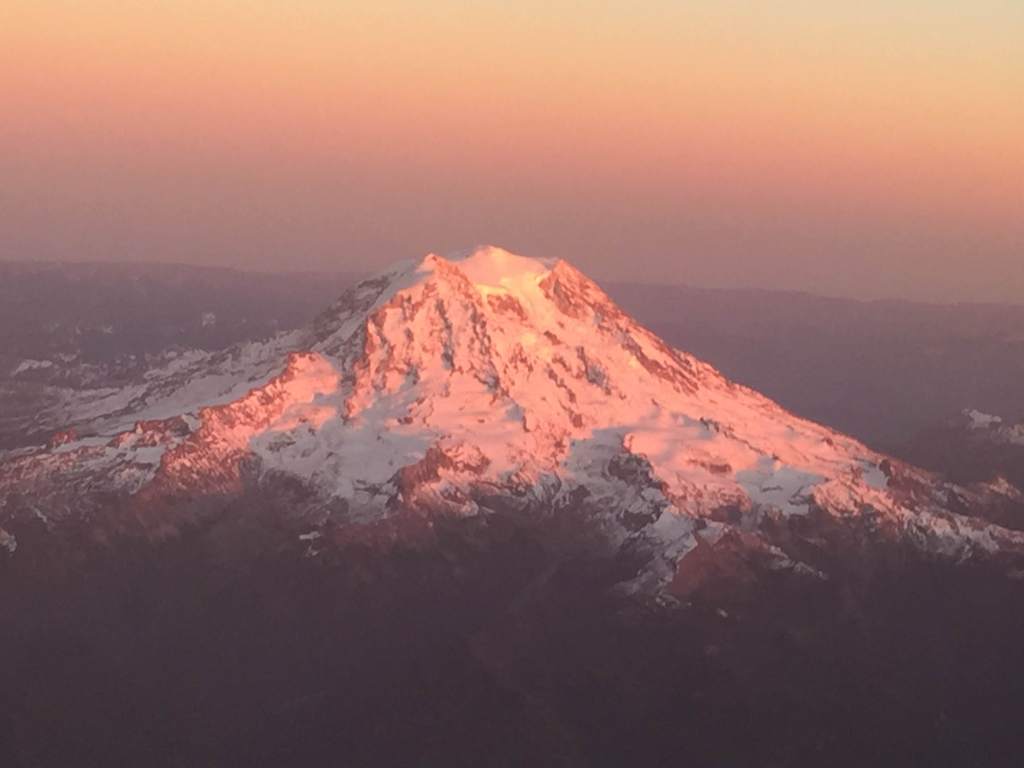
 I recently flew up to Seattle from Sacramento to visit the UW Institute for Stem Cell and Regenerative Medicine (ISCRM).
It was a great trip just on the science front and seeing some old friends from the UW and the Hutch, as well as making some new ones (yeah, corny, but true).
I not only love stem cell research but also nature and I’ve got a weakness for aerial photography of landscapes and especially mountains.
This post includes some photos I took from the planes I was on heading up north and then back south. There are shown in no particular geographic order.
First photo at left: Mt. St. Helens in the foreground with evidence of its huge eruption in 1980 and Mt. Adams to the east. You can see the live volcano cam of this peak here.
I remember when I was 13 years old watching the major eruption on TV and either then or with one of the smaller earlier eruptions we thought we could see the plume from a hill in Bellevue looking south.
Isn’t it striking to see two similar mountains juxtaposed like this, one with a top and one that blew its top off during a massive volcanic eruption?

I’m surprised what a good job iPhone 6 does with pics including through an airplane window. For other nature and science-related garden photos I’ve taken see here.


They should change the name to Mt Helens because no St should blow their top like that!
Thanks for the photos…the one of the Three Sisters reminded me of my backpacking trips that kept me from going crazy in grad school…